

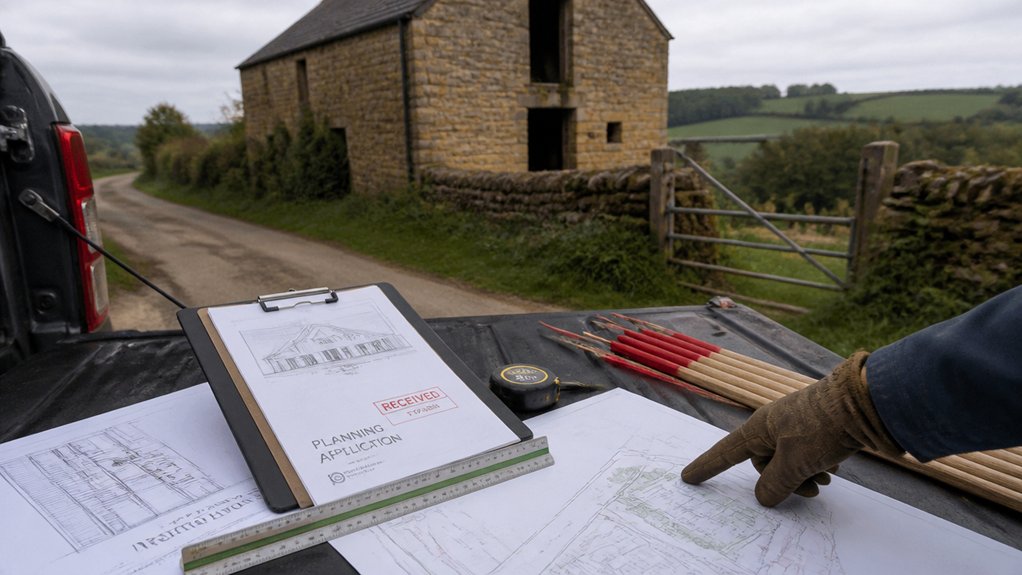
A rural barn conversion is a tightrope walk between opportunity and policy. You’ll first confirm whether you need full planning permission or can rely on permitted development, then you’ll test Class Q eligibility against local plan constraints and site designations like Green Belt or AONB. You’ll back every claim with evidence on structure, access, ecology, and flood risk, and you’ll keep changes minimal and reversible. Miss one trigger, and the route changes entirely…
Key Takeaways
- Check early if the conversion is permitted development (e.g., Class Q) or needs full planning permission via the local authority portal.
- Confirm constraints like listed status, conservation area, Green Belt, AONB, National Park, or Article 4 Directions, which often remove permitted rights.
- If using Class Q, verify GPDO criteria: lawful agricultural use on 20 March 2013, structural integrity, and caps (5 dwellings, 865 sqm).
- Submit supporting evidence: structural survey, safe highway access details, and proportionate ecology, drainage, contamination, and flood risk reports where triggered.
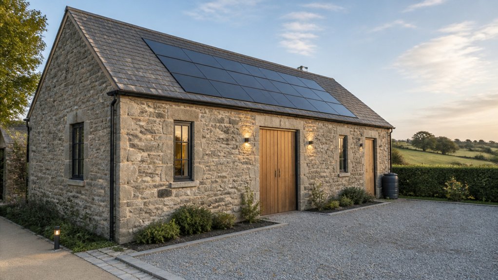
- Keep external changes minimal and rural in character, using like-for-like materials and avoiding suburban features that conflict with countryside design policies.
Do You Need Planning Permission or Permitted Development?
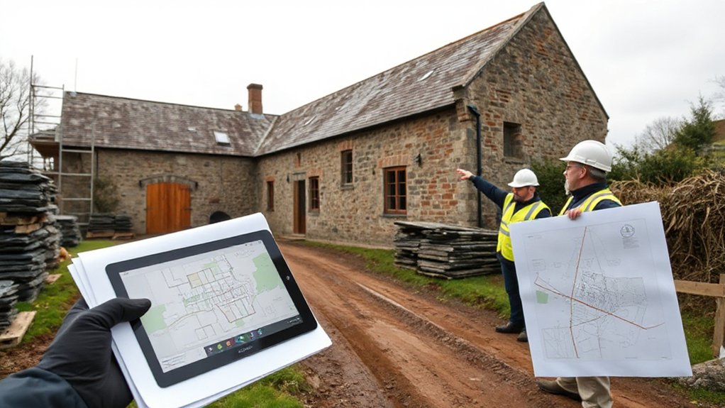
Although many rural conversions can proceed without a full planning application, you’ll need to confirm early whether your project falls under permitted development rights or requires planning permission. Check your local authority’s planning portal, the site’s constraints, and the building’s current lawful use before you commission design work.
If the structure is listed, within a conservation area, or affected by an Article 4 Direction, you’ll almost certainly need consent and tighter controls on Building preservation and Historical significance. Request written pre-application advice and, where appropriate, a Lawful Development Certificate to evidence the route you’re relying on.
You should also review the Local Plan, design guides, access and highway standards, drainage policy, and ecology triggers, because these often determine whether permission is required and what conditions you’ll face.
Class Q Permitted Development: Do You Qualify?
If you’re relying on Class Q permitted development, you must confirm that the building and the site meet the GPDO criteria before you design the conversion.
Check the lawful use and status: it must be an agricultural building within scope, and you’ll need evidence such as planning history, farm records, and dated photos.
Verify the building’s physical condition and existing form so your proposal reads as a conversion, not a rebuild, and document structural integrity with a survey.
Map the site and confirm the relevant unit, access, and service corridors to support a compliant prior approval submission.
Screen constraints early for Historic preservation, using list entries and local heritage records.
Build Community consultation into your programme to gather site-specific concerns and strengthen your submission.
Class Q Limits: What Can Block Your Conversion
Before you commit to a Class Q scheme, check the hard limits that can stop it regardless of how well you’ve designed the conversion. You’ll be blocked if the building wasn’t solely agricultural on 20 March 2013, or if it’s not genuinely capable of conversion without major rebuilding.
If structural works go beyond what’s “reasonably necessary,” prior approval can’t rescue the proposal. You must also stay within the Class Q cap: no more than five dwellings and no more than 865 sqm of floorspace, counting all Class Q changes on the unit.
Prior approval can still fail on transport and access, noise, contamination risk, flooding, and whether Rural infrastructure can support safe, serviced homes.
If the building is listed or curtilage-listed, Historic preservation controls remove it from Class Q.
Green Belt, AONB or National Park: Extra Hurdles
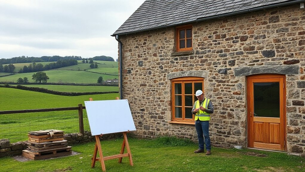
Where your rural building sits in the Green Belt, an AONB, or a National Park, you’ll face tighter policy tests and closer scrutiny because decision-makers must give substantial weight to openness and landscape character.
You should map relevant designations early, then align your proposal with the local plan, NPPF, and any National Park or AONB management plan policies.
You’ll need to justify why conversion is appropriate in principle, showing minimal change to external form, restrained domestication, and limited curtilage impacts.
If the building contributes to rural heritage, document significance and propose proportionate, reversible alterations.
Expect stronger design conditions and, in the Green Belt, a clear argument on preserving openness.
Build local consultation into your timetable and evidence how feedback shaped revisions.
Key Planning Tests: Structure, Access, Ecology, Flooding
You’ll need to show the building is structurally capable of conversion, typically with a survey or engineer’s report that demonstrates stability and identifies required works.
You must also evidence safe, suitable access under local highway standards, including visibility splays, turning space, and parking where policy requires it.
Finally, you can’t ignore constraints like protected species and flood zones, so you’ll submit proportionate ecology information and a flood risk assessment where triggers apply.
Structural Integrity Evidence
Although Class Q and full planning routes both focus on land-use impacts, decision-makers will still expect clear, proportionate evidence that the existing building can be converted without major rebuild and that the site’s constraints won’t create unacceptable risk.
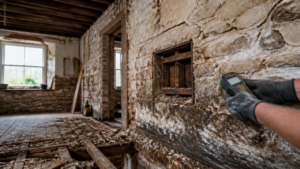
You should submit a structural report by a chartered engineer that records defects, proposed repairs, and why works remain a conversion rather than replacement. Include a Load bearing assessment of walls, frames, roof, and floors, with calculations or test results where needed.
Address Foundation stability using trial pits, drainage observations, and ground conditions, flagging any subsidence indicators. Tie conclusions to the scheme drawings and construction method, stating what you’ll retain and what you’ll strengthen.
If contamination or flooding could undermine stability, reference appropriate surveys and mitigation measures.
Highway Access Requirements
Once you’ve shown the building can be retained and made safe without major rebuild, the next planning pinch point is usually highway access, because Class Q and full applications both need clear evidence that the change of use won’t create unsafe or unsuitable access onto the public highway.
You’ll need a plan showing visibility splays, crossing points, and passing places where rural lanes are narrow. Check the highway authority’s Access regulations for minimum radii, gradients, and surfacing, and show how you’ll keep mud and loose stone off the carriageway.
If you need to widen gates or set them back, submit ownership details and a simple construction method statement.
Where Rural infrastructure is weak, quantify traffic generation, compare it to existing lawful use, and propose conditions for delivery times and parking layout.
Ecology And Flood Risk
Because rural conversions often sit beside habitats and watercourses, ecology and flood risk can decide the application even when structure and access stack up. You’ll need proportionate surveys: a Preliminary Ecological Appraisal, then protected species checks (bats, barn owls, great crested newts) where triggers exist. Submit mitigation and a Biodiversity enhancement plan, showing net gain where required, plus construction controls to avoid harm.
For flooding, screen your site against EA Flood Zones and surface-water mapping, and confirm if you’re in a Critical Drainage Area. If triggers apply, you’ll submit a Flood Risk Assessment with finished floor levels, safe access/egress, and SuDS.
Your Water management strategy should cover runoff rates, attenuation, and maintenance, aligned with local Lead Flood Authority standards.
Planning-Ready Countryside Design: Materials, Massing, Setting
You’ll improve your planning prospects if you specify contextual materials that match local character evidence (vernacular palettes, nearby approvals, and any conservation or landscape guidance).
You should also keep massing subservient to the host building by retaining the original form, limiting extensions, and controlling height, rooflines, and openings.
You’ll then set the conversion into the site with minimal visual impact by using existing access and hardstanding, protecting key views and boundaries, and justifying any new external works against countryside policy.
Contextual Material Choices
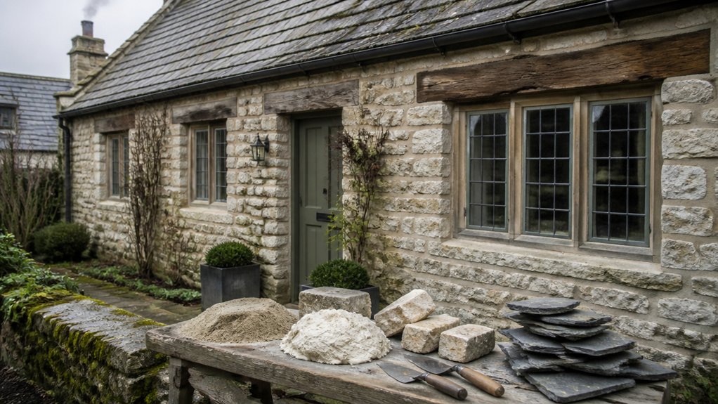
To secure consent for a rural conversion, align your material palette with the building’s local vernacular and the site’s landscape character, then evidence that choice in your Design and Access Statement.
Audit existing fabric, note stone type, brick bond, timber species, and mortar colour, and specify like-for-like repair before proposing new finishes.
Show material durability through BRE-rated products, frost resistance data, and guarantees, and confirm maintenance cycles suit exposed rural conditions.
Demonstrate aesthetic harmony by mapping proposed colours and textures against nearby farmsteads in a short streetscape study.
Use locally sourced or reclaimed materials where feasible and document suppliers, transport impacts, and availability.
Submit samples, boards, and annotated elevations, and reference relevant Local Plan design policies and any Conservation Area or Listed Building guidance.
Avoid glossy, urban finishes.
Sensitive Massing And Setting
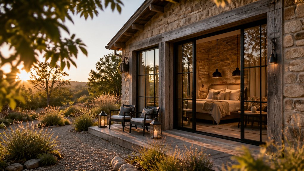
Material choices can read as “right” on paper, but officers will still test whether the conversion’s overall bulk sits comfortably in its landscape setting. You’ll need to demonstrate sensitive massing: keep ridge heights, footprint, and roof pitches close to the host building, and avoid suburbanising extensions, balconies, or excessive glazing on open elevations.
Use a measured baseline: submit existing/proposed plans, sections, and verified photomontages from agreed viewpoints. If the building has Historical significance, map how your interventions retain legibility of the original form and yard hierarchy.
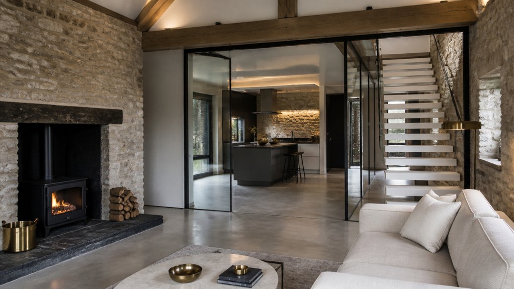
For aesthetic harmony, show how new openings align with bays, how additions sit subordinate, and how landscaping protects key views. Where you must add volume, break it into small, recessive elements and justify it against local policy and the NPPF.
Common Refusal Reasons (and How to Avoid Them)
Although many rural conversions are supported in principle, planning officers often refuse applications when the submission doesn’t demonstrate compliance with policy tests—typically around design quality, highway access, heritage impact, landscape character, flood risk, ecology, and the building’s structural suitability for conversion.
To avoid this, you should map each policy to a specific drawing, report, and condition-ready mitigation. Provide swept-path analysis, visibility splays, and a transport statement where rural lanes are constrained.
For Historic preservation, submit a proportionate Heritage Statement, justify interventions, and specify materials and detailing. Commission a structural survey proving the building can convert without rebuild.
Address landscape harm with LVIA, lighting strategy, and native planting. Submit FRA and drainage, plus biodiversity metric, protected species surveys, and timing constraints.
Run Community consultation early and document changes.
Frequently Asked Questions
How Long Does a Rural Conversion Planning Application Usually Take to Decide?
You’ll usually get a decision in 8 weeks, or 13 for major schemes, though Design considerations and Environmental impact assessments can extend timelines. You should submit complete evidence, respond promptly to consultations, and track statutory deadlines.
What Are Typical Planning Fees and Consultant Costs for Barn Conversions?
You’ll typically pay £258–£462 in planning fees, while consultants cost £2,000–£10,000+. You’ll budget more for Design inspiration, surveys, and Historic preservation reports; you’ll follow local validation checklists and submit compliant drawings.
Can I Live in the Building While Conversion Works Are Carried Out?
You usually can’t live there until it’s legally habitable. Around 40% of conversions face compliance delays. You must meet Building insulation standards, satisfy Legal restrictions, secure approvals, and pass inspections before occupancy.
Do I Need Building Regulations Approval Separately From Planning Permission?
Yes—you’ll usually need Building Regulations approval separately from planning permission. Planning tests use Zoning laws; Building code compliance covers structure, fire safety, insulation, and drainage. You should submit drawings/calculations, schedule inspections, and keep completion certificates.
What Documents Should I Submit With My Application to Avoid Delays?
You should submit completed forms, site and location plans, existing/proposed drawings, a design-and-access statement, ownership certificates, and supporting evidence: Historical considerations, Environmental assessments, heritage surveys, drainage and highways notes, and fees, to prevent delays.

Leave a Reply