

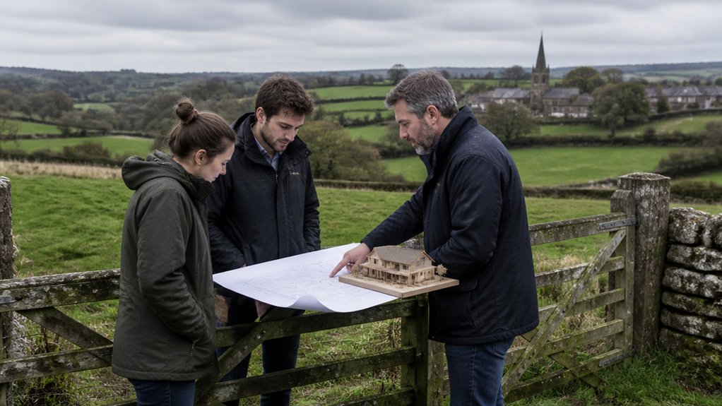
Before you commit to a rural plot, you’ll need to establish what the local planning authority permits, where settlement boundaries sit, and whether designations such as Green Belt, flood zones or protected landscapes affect the site. Your prospects will depend on policy, access, drainage, landscape impact and the quality of your evidence. A well-prepared application can reduce avoidable objections, but one early constraint may determine whether your proposal is viable.
Key Takeaways
- Check whether the site lies within a settlement boundary and identify constraints such as Green Belt, flood risk, heritage, or protected landscapes.
- Review the local development plan and neighbourhood plan, focusing on countryside housing, design, landscape, access, and biodiversity policies.
- Prepare a full application with accurate plans, ownership certificates, drainage proposals, and proportionate ecology, tree, heritage, flood, or highways evidence.
- Seek pre-application advice where available, but submit a formal application before starting any site works or construction.
- Address objections and conditions with clear evidence, and appeal refusals promptly by responding directly to each stated reason.
Do You Need Rural Planning Permission?
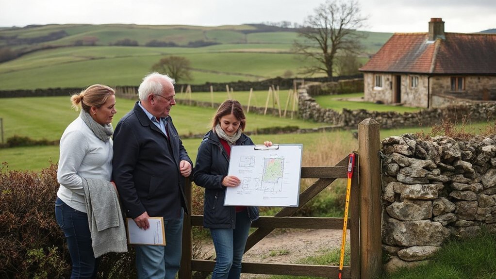
You’ll usually need planning permission to build a new home in rural UK locations, even on land you own. A new dwelling isn’t normally permitted development, so you must obtain consent before starting site works, foundations, access changes, drainage, or utility connections.
You should also check whether separate approvals apply, including listed building consent, conservation area controls, protected landscape restrictions, tree protections, or environmental permits. Your proposal must demonstrate safe access, suitable foul and surface-water drainage, and an appropriate relationship with neighbouring homes, roads, fields, and public rights of way.
Prepare plans that show the building’s scale, position, external finishes, and landscaping. Planning officers will assess how building materials and rural aesthetics respond to the site’s character. Don’t rely on informal advice: submit a formal application and wait for written approval before construction begins.
Check Local Policies and Settlement Boundaries
Check your local authority’s development plan to see which policies apply to your proposed site.
Confirm whether the land falls within a defined settlement boundary, as this can affect the principle of new housing.
If it lies in open countryside, assess the relevant rural and countryside policies before you submit an application.
Review Local Development Plans
Before you invest in a rural plot, review the local authority’s adopted Local Plan and any neighbourhood plan to identify the policies that control new housing, countryside development and design. Check whether your proposal meets stated housing need, affordable housing thresholds, landscape protections, heritage requirements and parking standards.
Use the plan’s policy maps, supporting text and evidence base to test the site against designations such as Green Belt, National Landscapes, flood zones, conservation areas or protected habitats. These constraints can alter what you may build, the surveys you’ll need and the likely planning balance.
Assess Rural architecture requirements closely: policies may expect locally appropriate materials, scale, roof forms and layouts. Address Environmental impact through biodiversity enhancement, drainage, energy efficiency and careful treatment of trees, hedgerows and views. Record the relevant policy references before commissioning drawings.
Identify Settlement Boundaries
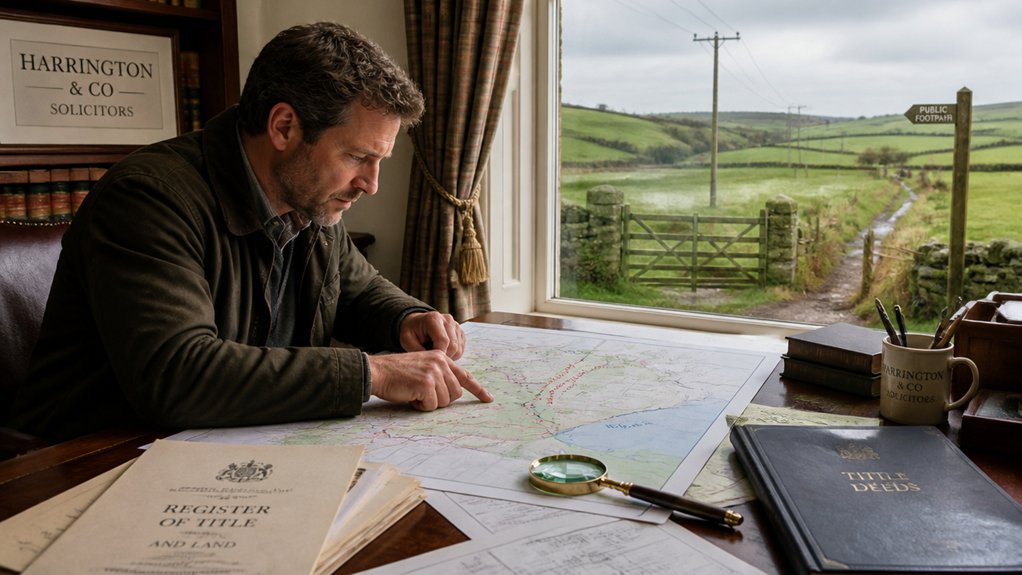
Settlement boundaries often determine whether a rural new-build site is treated as acceptable housing land or as open countryside, where policy normally restricts isolated homes. Find the boundary on your council’s adopted proposals map, policies map, or interactive planning portal. Don’t rely on estate-agent descriptions, postcode labels, or nearby development alone.
Check whether your plot lies inside, outside, or directly adjoining the defined settlement edge. A site beside existing homes may still fall beyond the line, affecting how officers classify it. Review the map’s date, legend, and any inset boundaries, as boundaries can change through plan updates.
If your land sits at an edge, assess its relationship with roads, built form, hedges, and the Rural landscape. Show how your proposal avoids unjustified Settlement expansion and fits the mapped settlement pattern.
Assess Countryside Planning Policies
Once you’ve confirmed the settlement boundary, read the adopted local plan’s countryside and housing policies to establish the principle of development on your site.
Check whether the land falls within protected countryside, Green Belt, an Area of Outstanding Natural Beauty, or a landscape character area. These designations can restrict isolated homes and impose stronger tests for need, location, and design.
Review supplementary planning documents, neighbourhood plans, and any emerging policy changes. You’ll need to show that your proposal supports Landscape preservation, protects valued views, and respects Countryside aesthetics.
Identify policies covering agricultural land, heritage assets, ecology, flood risk, access, and drainage, as these may affect the developable area. If policy permits only exception sites or rural worker dwellings, gather evidence early.
Pre-application advice can confirm how officers interpret site-specific constraints.
Check for Green Belt and Other Designations
Check the site’s planning designations early, as Green Belt land and protected landscapes can sharply limit the scope of a rural new-build proposal. Use the local planning authority’s mapping system and adopted Local Plan to identify constraints affecting every part of your plot.
Green belt policy generally restricts inappropriate development and gives substantial weight to openness. You should also check for National Parks, Areas of Outstanding Natural Beauty, conservation areas, heritage assets, flood zones, Sites of Special Scientific Interest, protected habitats and public rights of way.
Designations can overlap, creating separate consultation, survey or design requirements. Confirm site boundaries against official maps rather than estate-agent particulars.
Consider access routes, drainage outfalls and service connections too, as constraints may extend beyond the intended house footprint. Record the findings before commissioning plans, so your proposal responds to the site’s regulatory context.
Assess Your Countryside Build’s Approval Prospects
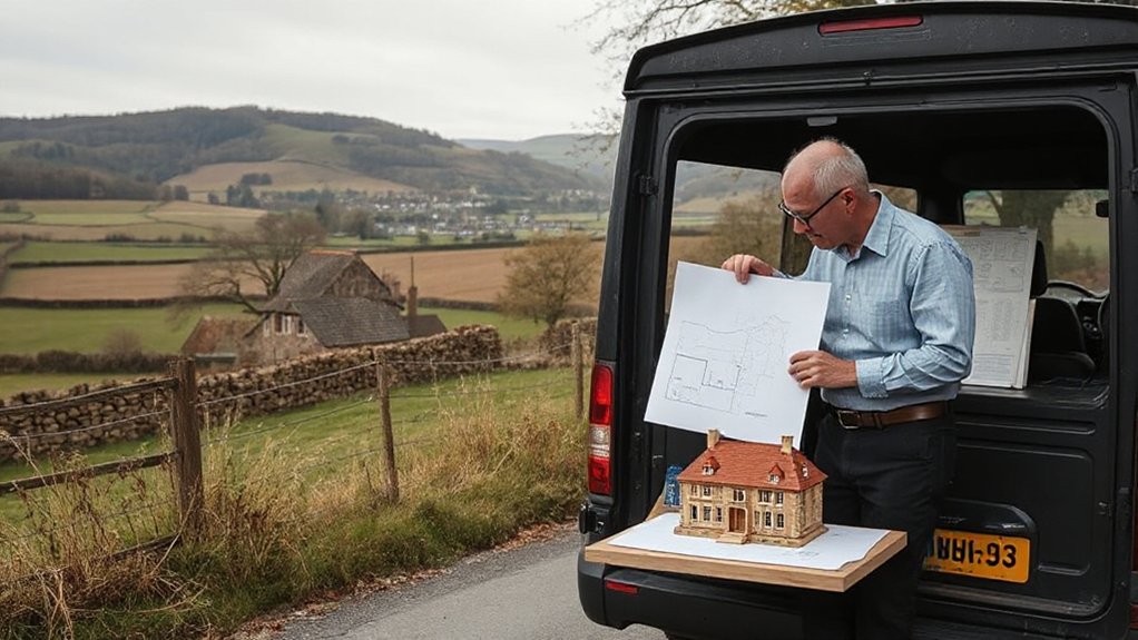
Your approval prospects depend on how the proposal fits the local plan’s countryside policies, not simply on whether the plot can accommodate a house. Review the authority’s settlement boundaries, housing strategy, design guidance and any policy supporting isolated rural homes.
You’ll usually need to show an essential rural need, reuse of a suitable building, or another policy-based justification.
Assess the scheme against the site’s character and neighbouring development. Explain how its scale, massing, layout and Rural aesthetics respect local landscape patterns without appearing suburban or intrusive.
Select Building materials that reflect established vernacular, such as local stone, brick, timber or roof finishes, where guidance supports them.
Keep the design proportionate, limit visual impact and prepare clear drawings, elevations and a planning statement that directly addresses each relevant policy.
Investigate Access, Flood Risk and Drainage
A policy-compliant rural design can still fail if the site can’t provide safe access or manage water without harm. Check whether vehicles can enter, turn, and leave safely, including emergency and refuse vehicles. Your proposed access pathways must offer adequate visibility, avoid dangerous junctions, and protect public rights of way, verges, and hedgerows.
Review flood mapping and local planning constraints before fixing the building position. You’ll need to show that development avoids areas at highest risk and doesn’t increase flooding elsewhere.
Plan drainage around the site’s natural levels, existing ditches, watercourses, and ground conditions. Use sustainable drainage measures where appropriate, such as permeable surfaces, swales, or attenuation features.
A clear flood prevention strategy should control runoff, maintain safe flows, and prevent damage to neighbouring land, highways, and downstream properties.
Get Surveys for Rural Planning Permission
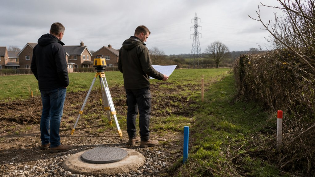
Commission the right site surveys early, because rural planning authorities will expect evidence that your proposal responds to physical constraints and protected interests. Start with a Rural land assessment to identify boundaries, topography, existing trees, hedgerows, watercourses, utilities and neighbouring land uses.
Use appropriate survey techniques for the site and application. You may need a preliminary ecological appraisal, protected-species surveys, an arboricultural survey, a landscape and visual assessment, a heritage statement or an agricultural land classification survey. Check the council’s validation list and consult its ecology, conservation or tree officers where necessary.
Time surveys carefully: bat, nesting bird and great crested newt work often has seasonal limits, and outdated reports can delay validation. Appoint suitably qualified professionals, retain raw records and submit clear plans with your application. Guarantee survey boundaries cover relevant off-site effects, not just your plot.
Design a Home That Fits Its Setting
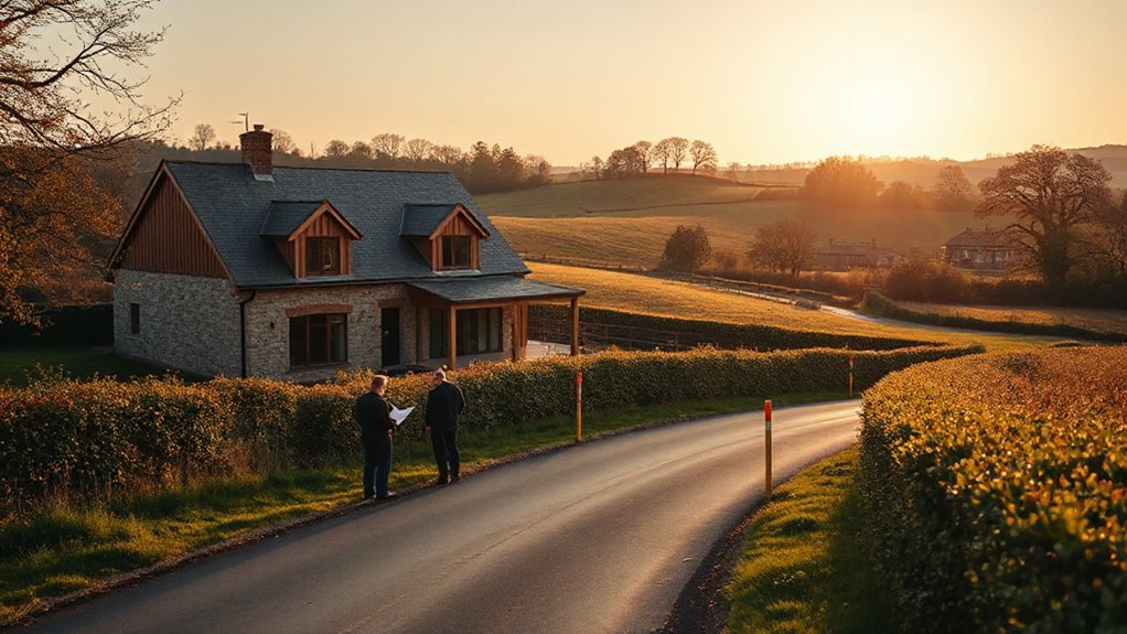
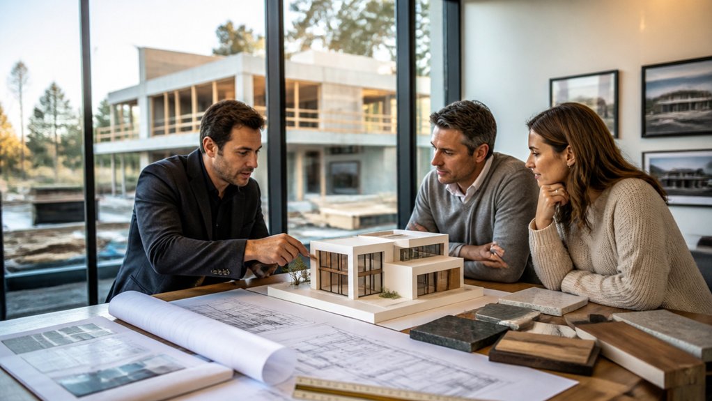
Design should respond directly to the landscape, settlement pattern and local planning policies, rather than treating a rural plot as a blank canvas. Review the council’s design guide, local plan and any conservation-area or landscape-designation policies before fixing your layout, scale or materials.
Use your site survey to place the building within existing contours, hedgerows and established field boundaries. Keep ridge height, massing and window proportions consistent with nearby buildings where policy requires it. Rural aesthetics don’t mean copying a cottage style; they mean demonstrating that your proposal belongs in its context.
Choose materials that reflect local character and submit clear elevations, sections and verified photomontages. Show how planting, drainage features and boundary treatments support Landscape integration. A well-evidenced design statement can explain these choices and help officers assess visual effects.
Meet Highways, Parking and Visibility Rules
You’ll need safe, policy-compliant access to the public highway before permission is likely.
Check that your entrance, turning space and parking provision meet local authority standards for the site’s location and scale.
Protect required visibility splays by keeping walls, hedges and other obstructions within them low.
Highway Access Requirements
Highway access can determine whether a rural new-build proposal gains planning permission, particularly where a site joins a fast, narrow or poorly lit road. You’ll need to show that the proposed access safely accommodates drivers, pedestrians, cyclists and service vehicles. Check the highway authority’s local design guidance before fixing your site layout, as requirements vary by council and road classification.
Your plans should identify the access position, carriageway width, gradients, drainage arrangements and any needed alterations to verges, ditches or hedgerows. You may need a transport statement or technical assessment where traffic conditions are sensitive.
Design works around existing Rural infrastructure, including ditches, culverts and utility routes, and secure the necessary highway approvals. Limit Environmental impact by retaining boundary features where possible and providing sustainable drainage that prevents runoff onto the public highway.
Parking And Visibility Standards
Safe access alone won’t satisfy the highway authority if your scheme lacks workable parking and adequate visibility. Check your council’s adopted parking standards, which usually set minimum spaces by dwelling size, location and accessibility.
Show turning space so vehicles can enter and leave in forward gear where required, particularly onto faster rural roads.
Provide visibility splays at the access, measured from the correct setback distance and kept clear of hedges, walls, parked cars and planting. Your plans should demonstrate achievable sightlines based on the road’s recorded or surveyed speed, not assumptions.
Position bays, garages and cycle storage without compromising drainage, manoeuvring or emergency access. Use permeable surfacing where suitable to limit Environmental impact.
Screen parking carefully, but don’t obscure splays; restrained materials and planting can protect Rural aesthetics while meeting highway safety conditions.
Prepare Your Rural Planning Application
Before you submit, assemble a site-specific application that addresses the National Planning Policy Framework, the local plan and any neighbourhood plan.
Check the council’s validation list and provide accurate location, block, floor and elevation drawings, a design and access statement, and the correct ownership certificates.
Explain how your proposal responds to landscape character, settlement pattern, heritage assets, flood risk, drainage, ecology and highway safety.
Show why the chosen siting, scale, materials and boundary treatments suit local Rural architecture rather than creating an isolated or suburban form.
Include surveys where Planning regulations or local policy require them, such as ecological, tree, heritage or flood-risk evidence.
Use photographs, verified dimensions and clear plans to demonstrate existing conditions.
Calculate fees correctly, submit through the Planning Portal or council route, and retain copies of every document.
Respond to Objections, Conditions and Appeals
You should address planning objections with evidence on landscape impact, access, drainage, and local policy compliance.
If approval includes conditions, you must discharge them before starting relevant works and keep records of submissions and approvals.
If the authority refuses permission, prepare an appeal that clearly tests the decision against the development plan and site-specific evidence.
Addressing Planning Objections
Planning objections need a prompt, evidence-led response that addresses the material planning issues raised, such as landscape impact, highway safety, ecology, drainage or neighbour amenity. Review each representation against the development plan, National Planning Policy Framework and submitted drawings.
You should correct inaccuracies without dismissing local concerns, using surveys, visibility assessments, transport data or drainage calculations where needed.
Explain how your proposal protects Rural aesthetics through siting, scale, materials, planting and retained landscape features. Community engagement can help clarify concerns before determination: speak with neighbours, parish councils and consultees, then submit a concise response to the case officer.
Focus on planning merits, not personal disputes or property values. If objections reveal a genuine design weakness, revise the scheme early and provide updated plans.
Keep your response factual, respectful and clearly referenced.
Managing Approval Conditions
Once the local planning authority grants permission, check every condition against the decision notice, approved plans and your construction programme. Identify pre-commencement conditions immediately; you must discharge them before starting relevant works. Typical requirements cover materials, drainage, landscaping, ecology, access and construction management.
Submit precise details that match the approved Rural architecture, protect local character and avoid unapproved design changes.
Keep a condition register, assign responsibilities and record submission dates, responses and approvals. Don’t assume silence means consent: obtain written confirmation before proceeding.
If neighbours raise further concerns, use Community consultation to explain agreed safeguards, working hours and site controls. Where a condition seems unclear, impractical or disproportionate, seek clarification from the case officer promptly.
You can request a variation or removal of conditions where justified, but continue complying with the existing permission until the authority issues a formal decision.
Preparing Appeal Submissions
If the authority refuses your rural new-build application, imposes unacceptable conditions or fails to decide it in time, prepare an appeal that addresses the stated reasons directly. Check the decision notice, officer report and local planning policies, then submit through the Planning Inspectorate within the applicable deadline.
Match each ground of refusal with proportionate evidence: revised drawings, landscape assessments, drainage details, highways information or ecological surveys.
Explain how your proposal protects Rural aesthetics through scale, materials, siting and boundary treatment.
Demonstrate that Environmental impact has been avoided, mitigated or compensated, especially where habitats, flood risk, trees or protected landscapes are involved.
Respond calmly to neighbour objections using verified facts rather than assertions.
If challenging conditions, show why they fail necessity, relevance, enforceability, precision or reasonableness tests.
Keep your statement focused, indexed and consistent with submitted plans.
Frequently Asked Questions
How Long Does Rural Planning Permission Usually Take?
You’ll usually wait 8–13 weeks for a decision, though complex rural proposals can take longer. You should allow extra time for Building regulations, Environmental impact assessments, ecology surveys, consultations, and site-specific planning conditions.
What Are the Planning Application Fees for a New Rural Home?
You’ll typically pay £624 in England for a new dwelling application, plus local validation costs. Budget separately for Design considerations, Environmental assessments, surveys, and specialist reports, as site constraints can substantially increase your total submission expense.
Can I Start Building Before Planning Permission Is Granted?
No, you can’t start building before permission is granted; doing so risks enforcement action. You may refine Design flexibility, but comply with Building regulations, protect site conditions, and wait for written approval before commencing work.
Does Planning Permission Increase My Land’s Value?
Yes—planning permission can lift your land’s value like opening a gate to development. Your land valuation may rise considerably, but site constraints, conditions, access, and local policy determine whether your property investment gains market appeal.
How Long Is Rural Planning Permission Valid For?
Rural planning permission usually lasts three years from approval. You’ll need to start lawfully within that period, meet Building regulations, address Environmental considerations, and satisfy any site-specific planning conditions before development begins.


Leave a Reply